Participate In
OCean Modeling & Climate Prediction
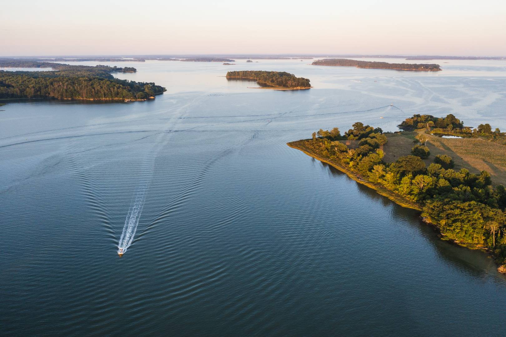
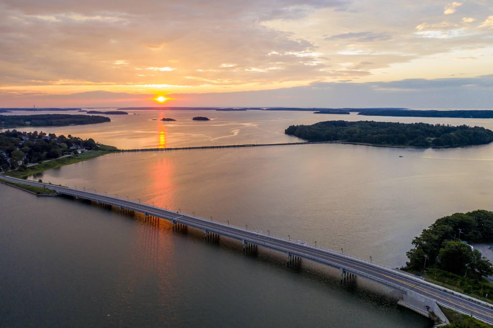
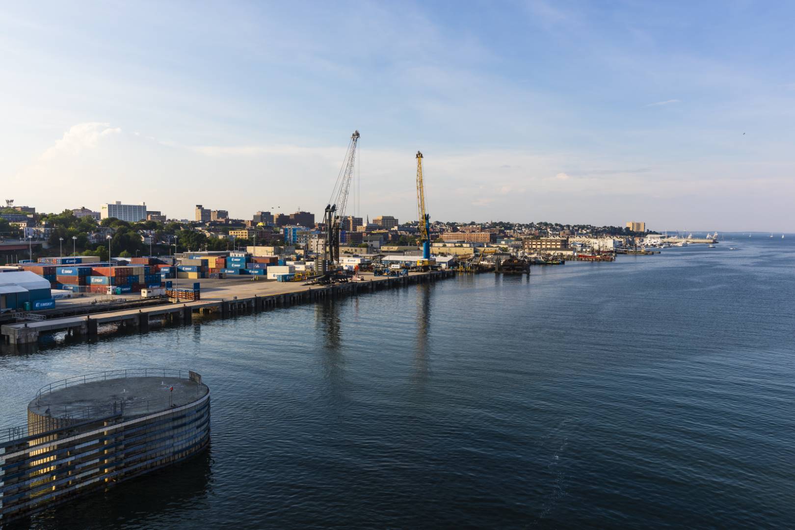
Climate change poses significant challenges to coastal cities and ports, including the Port of Portland and the harbor’s active working waterfront. In coming decades, the City of Portland will contend with sea level rise, increasing storm intensity, warming waters, changes in precipitation, threats to water quality, and shifts in coastal marine ecosystems, all while managing the complex socioeconomic structure of a modern port.
To help address these challenges, Casco Bay Estuary Partnership (CBEP) is working with a host of partners to make ocean data more accessible to the people of the Casco Bay region, so everyone can make decisions with the best available data. A new high-resolution coastal ocean model of water movement in Casco Bay will provide three-day forecasts of ocean conditions in Portland Harbor and surrounding areas, including predictions of:
- water levels,
- ocean flooding,
- current velocity,
- wave height,
- water temperature, and salinity.
Coastal ocean circulation models can provide insight on present and future ocean conditions to help coastal cities assess risks and prepare for storms and other hazards. Such models can inform port operations and emergency management, support oil spill response and enhance coastal water quality management. By developing community-driven coastal modeling tools and scenarios, we can significantly increase the climate resilience of Portland Harbor and other coastal communities.
Population growth in Maine since the Covid pandemic was the seventh fastest in the U.S. and the vast majority of the state’s population lives in the Casco Bay region. The combination of recent population increases, development, and climate change will present challenges to maintaining our working waterfronts and healthy marine ecosystems. We have an opportunity not afforded to many coastal communities to develop tools necessary to assess, plan for, and respond to coastal change before our working waterfronts and marine ecosystems have been degraded. By developing stakeholder-inspired coastal modeling tools and scenarios, we can significantly increase the resilience of this coastal community.
Results from this project will help us design maps, data visualizations, websites, and other tools to help community officials and residents access and use information from the Casco Bay circulation model. To that end, we would like to know how community members would use the model so we can develop and deliver the best tools that people will actually use.
We invite your participation.